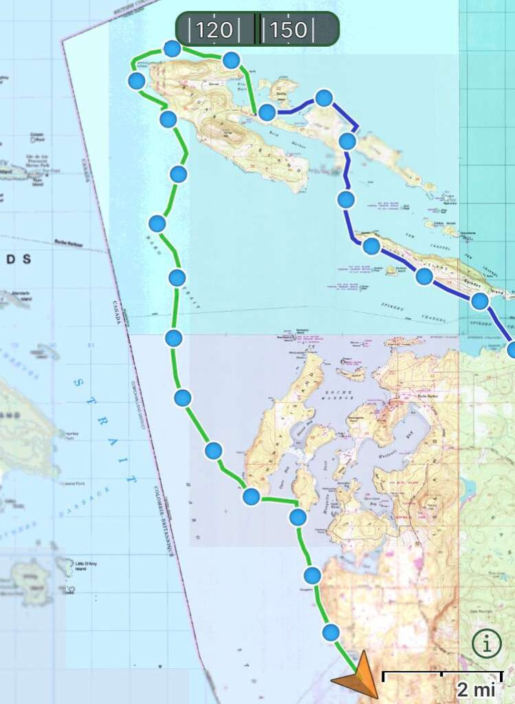
We wanted to get an early start to catch the southbound currents in Haro Strait and ride them all the way to San Juan County Park. According to both Deep Zoom and the Current Atlas, the currents were set to shift around noon, and so with a fifteen mile day ahead of us we wanted to be on the water by 7:00 am. This meant preloading our kayaks the night before so all we had to pack in the morning was our tent, sleeping gear and clothes. We decided to forego our regular hot breakfast of oatmeal with apples and peanut butter and just eat energy bars once we were on the water.
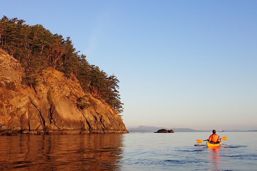
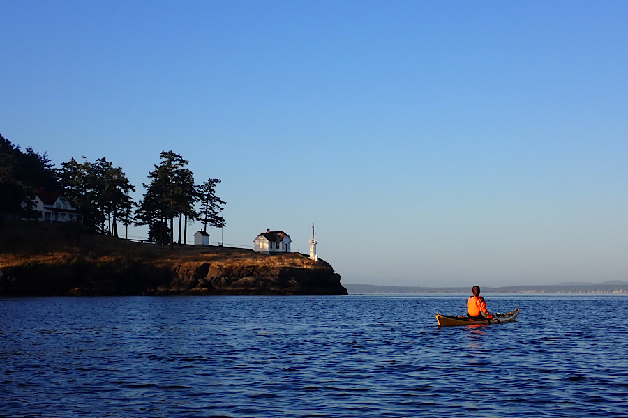
We passed the Turn Point Lighthouse and then the cliffs just to the south of Turn Point where I used to take clients during our trips to Stuart Island. We’d hike to the cliffs from the County Road to watch the sunset over Boundary Pass and the Gulf Islands. I remember looking down from the heights and watching the deep swirling water and tide rips coming off the point below.
We made a quick stop on Stuart before launching out into the open waters of the longest crossing of our trip. We planned to cover over six miles before landing on the west end of Henry Island where we would take another break. In general, we try not to spend more than two hours at a time in the kayaks. In addition dealing with necessary body functions (after the post about dogs peeing on our stuff, I promised my mom I would keep references to urination to a minimum), it’s also important to stretch the legs and back from time to time. If not, the accumulation of paddling, hauling gear and sleeping on the ground, can turn a kayaker into a paralyzed pretzel after a few days. And personally, I get nasty sciatic pain if I sit in a kayak too long. So we figured we could cover the six miles to Henry Island in a couple hours, and hopefully less, given a generous push from the currents.
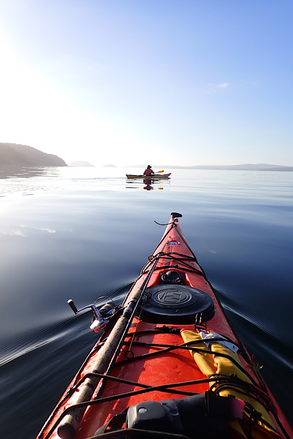
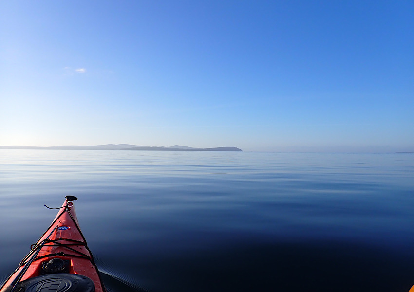
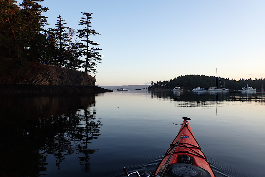
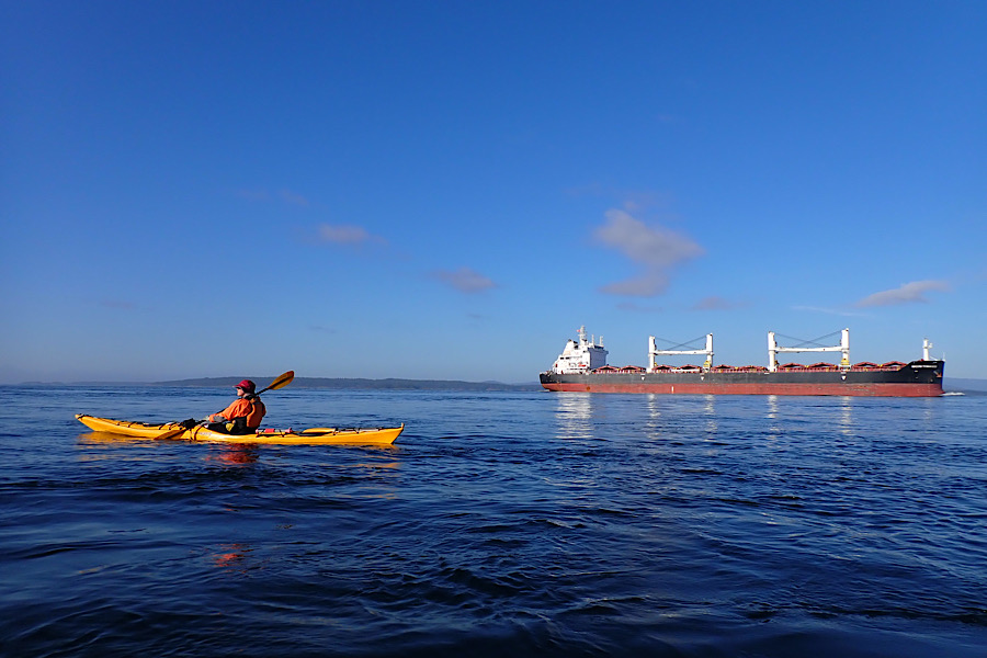
On this heavenly summer morning, Haro Strait was as placid and calm as could be imagined. Not a breath of breeze stirred the inky black waters, and while the current was racing underneath us, we felt almost nothing on its surface. We reached a speed of six and a half miles an hour, as we angled south to make our way into the flow of the strait. We were utterly alone. For miles in all directions lay a flat plain of solitude. The only other visitor on this morning was a freighter far off in the distance, plying its way northward to the unseen Canadian ports in the distance behind us. Even the gulls were seldom seen. It was as complete a solitude as I’ve ever felt in a kayak. We had committed to this massive crossing and thankfully the conditions were near perfect.
Just north of the Kellet Bluff we saw a sign nailed to a tree indicating we had entered a rockfish reserve, one of several voluntary no take zones set up around the San Juan Islands to preserve the long-lived rockfish that inhabit the Salish Sea. Some of these fish can live up to two hundred years, though most in the Puget Sound area average about fifty years. Still, that’s a long life for a creature that could very likely end up in a taco. Consequently, their populations have been ravaged by overfishing. Thankfully, efforts have been made over the years to reduce harvesting of these animals, and there are some signs that it’s working. Presently, the most obvious indicator of success was the flotilla of recreational fishing vessels parked right outside of the reserve. I counted at least thirty boats engaged in some form of fishing activity. Some fishermen were casting, some were trawling and some, I think, were just working off a hangover with a cup of coffee in one hand and a fishing pole in the other. Still, I doubt you’d find that kind of congregation if there weren’t fish to be caught. And none of them ventured into the reserve, but chose to stay just outside of it, a welcomed sign of self-policing and an appreciation for the values of conservation. At least that’s what I told myself as we paddled through this small armada on our way to a long-overdue rest stop on the south end of Henry Island.
It felt good to be out of the kayaks. We had been on the water for almost three hours, and had covered more than seven miles of open water. Our joints were stiff and our muscles sore, but the feeling of accomplishment combined with the placid waters, clear skies and seventy degree air brought smiles to our faces while we sat on the beach eating trail mix and Cliff Bars.
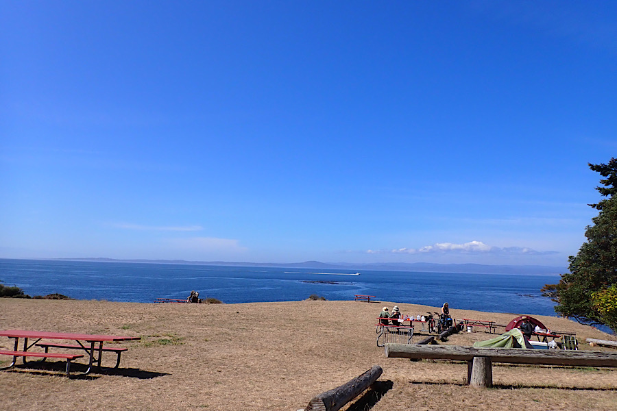
We pulled up to the park just before noon, the sun high overhead and the air warm. We hauled all of our gear up the long stairs leading to the hiker/biker/kayaker campsites and began making camp. We would stay for a couple of days, enjoying the breathtaking views across Haro Strait. San Juan County Park is one of Giovannina’s all time favorite campgrounds. She used to spend a week there each summer with her friends from the Seattle Aquarium, SCUBA diving from the rocks and beaches and working on the park’s mooring buoys in exchange for camping fees. She wanted to spend a day exploring the park and surrounding area, and I had writing to catch up on. So we pitched our tent, inflated our Thermarests, unfurled our sleeping bags, and settled in for a couple days of chilling on the shores of Haro Strait.